Frequency-Based Creation and Editing of Virtual Terrain
We present a sketch-based toolset for asset-guided creation and intuitive editing of virtual terrains, allowing the manipulation of both elevation maps and 3D meshes, and exploiting a layer-based interface.
November 13, 2014
Conference for Visual Media Production (CVMP) 2014
Authors
Gwyneth Bradbury (University College London)
Il Choi (University College London)
Cristina Amati (University College London)
Kenny Mitchell (Disney Research)
Tim Weyrich (University College London)

Frequency-Based Creation and Editing of Virtual Terrain
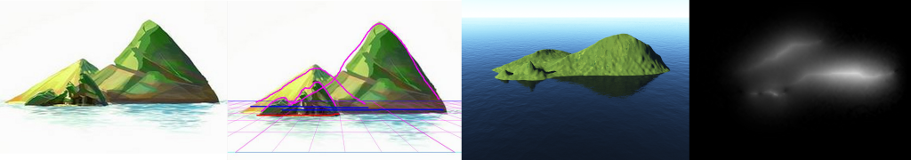
Authoring virtual terrains can be a challenging task. Procedural and stochastic methods for automated terrain generation produce plausible results but lack intuitive control of the terrain features, while data-driven methods offer more creative control at the cost of a limited feature set, higher storage requirements and blending artifacts. Moreover, artists often prefer a workflow involving varied reference material such as photographs, concept art, elevation maps and satellite images, for the incorporation of which there is little support from commercial content-creation tools. We present a sketch-based toolset for asset-guided creation and intuitive editing of virtual terrains, allowing the manipulation of both elevation maps and 3D meshes, and exploiting a layer-based interface. We employ a frequency-band subdivision of elevation maps to allow using the appropriate editing tool for each level of detail. Using our system, we show that a user can start from various input types: storyboard sketches, photographs or height maps to easily develop and customise a virtual terrain.